Unlock tools, layers, and more with a Regrid Pro account
Or create a free Starter account using the form below to continue browsing
Sign up for a free Regrid Starter account to enjoy an increased daily limit of 25 property lookups.
Projects keep your work organized by bundling together your data layers, styles and map view. You may browse and add data sources, edit parcel styles, and navigate Regrid freely. To save what's on your map or share it with others, use a Project!
Sign up for a free Regrid Starter account to enjoy an increased daily limit of 25 property lookups.
You are viewing this project as a Guest.
Shared Project
Shared By
Working Boundary
To learn more about sharing projects, visit our support documentation.
Sign in or create an account to work with your own projects and data.
Sign In or Create AccountSign up for a free Regrid Starter account to enjoy an increased daily limit of 25 property lookups.
Sign up for a Regrid Pro account to set sharing permissions for each Project. You can also embed a Project into another website.
Projects keep your work organized by bundling together your data layers, styles and map view. Once you've created a project, browse here for sharing tools.
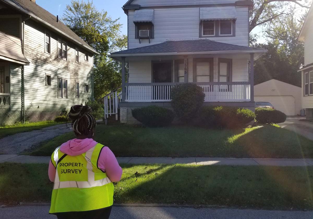
Collecting data with a survey is an easy process!
Create custom questions to gather info on properties you care about. Great for large-scale data collection (citywide surveys, acquisition pipeline tracking, etc).
Upgrade to ProThis is your survey feed. When posts are added to the map, they will appear here in a timeline.
No feed entries match your current filter in this place.
Follow properties of interest to add them to a list. We'll send you notifications when data on properties that you follow change.
Upgrade to ProNarrow down to just properties that fit your criteria with Regrid's Filter tool.
Learn more Upgrade to ProChange property line styling and color code properties with custom style rules.
Learn more Upgrade to ProMeasure distance, area, find lat/long coordinates, and draw custom focus areas.
Upgrade to ProParcel details and data will appear here when you search for a property or select one on the map.
Got property data? Easily import a spreadsheet and attach it to our parcels. We currently support matching by lat/long, address, or parcel ID/APN.
Learn more Upgrade to Pro