-
Enterprise
 Premium Parcels
 Roadway ROW
- Data Store
- Regrid App
- Esri Users
-
Resources
 Support
 Content
 Programs
.png) Shop
Shop
- Contact Us
- Hide Menu


LOVELAND:
Mapping Every Parcel on the Planet
We've archived this report, but you can learn more about our parcel data here:
Coverage map and parcel store Bulk parcel data & APILOVELAND's mission
We are mapping every parcel of property on the planet and building the world’s best tools for collecting, displaying, and working with parcel information.
The United States of America was the first nation on Earth founded on private property. The first democratic decision made by Europeans on American soil was to have private property owned by individuals. Fascinatingly, this concept of private ownership arose alongside the idea of public information. Land ownership in the USA is public information, but it has never been brought together in one place and made truly accessible to the public before. Enter LOVELAND.
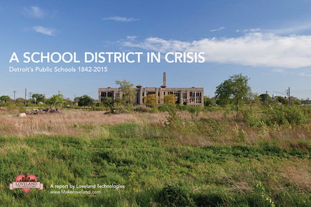
We grew out of the problems of Detroit, Michigan, where more than 50,000 vacant houses dot the decimated ownership grid. We rediscovered the NEED to know who owns the Earth so we can move forward. Knowledge of how we all own and use the Earth is profound, yet hidden. Our job at LOVELAND is to make this ownership grid visible to you.
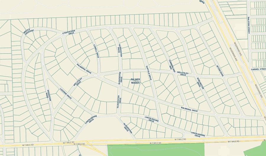
What are parcels?
Parcels are how land is divided up for ownership, use, and taxes. A quilt of parcels covers the planet. Each parcel has a unique ID which connects it to information used by municipalities and private organizations to keep land organized. There are an estimated 150 million parcels across America, and unless you're in the middle of the street, you’re standing or sitting on a parcel right now!
Loveland makes parcels better
Parcels are public record information but have never been assembled and displayed to the public in one easily accessible place. Parcels usually live on paper maps and government databases. Loveland has been moving this data from cabinets and silos into the shared online world.
We have researched all 3,234 counties in the USA and assembled as many parcels as possible through a combination of downloading data and importing data from mailed DVDs.
We do the work of putting the data into a standard layout, cleaning, and augmenting the data with other information like residential and vacancy flags, and building counts.
How do we get parcels?
The keepers of parcel data typically fall into three categories: local governmental agencies, state agencies, and third party hosts. Some cities, counties and states make this information accessible online.
The typical search begins with looking up information about a county GIS department. If a dataset is not available for download or if information regarding how to obtain the parcel datasets were not available, calls and emails are made in an attempt to reach out to the county.
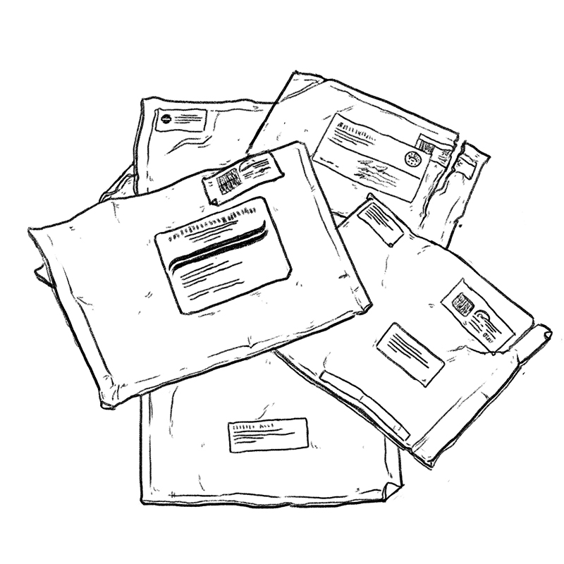
For parcels that aren’t available online, Loveland requests copies of the data from the organization that maintains it. Depending on the organization (and what mood they happen to be in that day) parcels can be obtained for a nominal fee, or the total opposite of nominal.
The story so far
In 2015, we began expanding our coverage of parcel datasets from simply just Detroit to the most populous 146 counties in America. We ran on the idea that this is where most people would be interested in property data and where the likelihood of well maintained digital parcel datasets would already exist. Today, we have data on 3,229 counties online. You can see the latest on everything we offer at https://app.regrid.com
160,451,001+ parcels
So far we've assembled more than 160 million parcels covering places that 275 million Americans call home.
Click the map to see if we have parcels in your area, or search for an address.
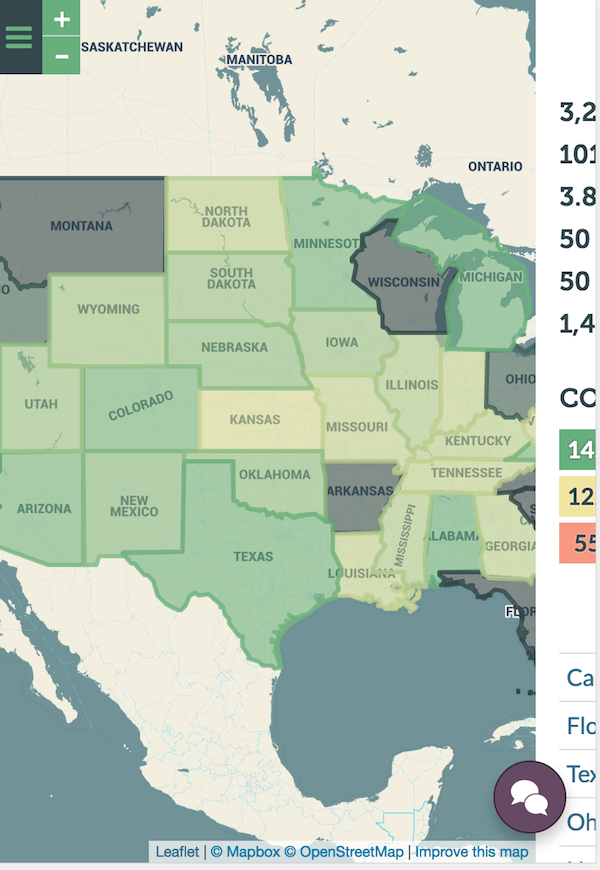
Currently, only ten states in the U.S. have a full, freely available, digital statewide parcel layer. What all of these have in common is state legislation that enabled them to collect this data, and then make it freely available, when often the individual counties within these states had previously charged for that information.
Putting Parcels to Work
Parcels rule the world around you. Now it's time for you to see how.
Still curious about the significance of LOVELAND’s work to make parcel data public nationally and internationally? Think of it this way:
Parcels are like cells, and the data attached to parcels is like DNA. When parcels and parcel data are put together and shared publicly, we can start to understand how well the organisms that are our cities, states, and entire countries are functioning, and how to improve and modify them. We can see change over time, and indications of what the future has in store. Building a national database and map of parcel data is a foundational step in decoding the American property genome—the implications are enormous.
Want to understand whether your city is collecting enough property taxes to fund its operations? You’ll want to look at parcels for that. Need to examine the implications for disaster management and insurance along the floodplains of the globally warming coasts? That’s a job for parcel software. Infrastructure reinvestment a priority? Efforts to conserve public lands? Concern over the next real estate related financial crisis? It all ties back to the ability to see and understand parcel data at the local, national, and international level. Here are just a few examples of how we've seen parcel maps put to use by different people:
Individuals
- Explore property ownership in your neighborhood
- Reach out to the owner of a property you’re interested in
- Follow public information on your own property
Researchers & Business
- Compare land use and values across the country
- Look for correlations in property change over time
- Combine parcel data with other data for new insights
Projects & Apps
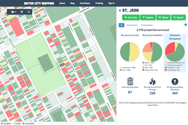
- Survey every property in a city to see current conditions
- Create custom property dashboards focused on specific issues
- Nationwide parcel data to build your apps on
Governments
- Make better decisions for planning, zoning, and taxes
- Respond to emergency situations with confidence
- Invite economic development by advertising opportunity
We have developed software called Regrid that makes it easy to work with parcel data in your own private space. Here are a few projects we've done with Regrid:

What would be helpful in your community?
Work With Us
If this topic and mission excite you, or if they can help you in your work, here are some things you can do:
We love working on ambitious projects with great people, places, and organizations. Reach out to us at help@regrid.com or 888-4RE-GRID, follow us on Twitter, Facebook, or sign up for our newsletter below!
Additional Reading
As we continue our journey, we'd like to thank and recognize the pioneering research of the authors of:
- Need for a Multipurpose Cadaster (1980)
- The Feasibility of Developing A National Parcel Database: County Data Records Project Final Report (2013)
- Modernizing American Land Records: Order Upon Chaos (2014)
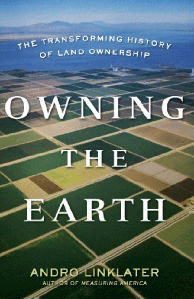
- Measuring America: How the United States Was Shaped By the Greatest Land Sale in History (2003)
- Owning the Earth: The Transforming History of Land Ownership (2015)
- ...and other visionary research on this topic.